When can we sail?
Compare the whole crossing. Find the smoothest forecast, with alternatives even when your limits cannot be met.
Enter your ports and dates to begin.
Your departure recommendation
Compare departure scenarios
The five lowest wave-exposure starts, plus the best within your limits, lowest peak waves and lowest wind when different. See every start below.
| Departure · Greek time | Wave exposure · RMS | Average waves | Peak waves | Time above wave limit | Wind · average / peak | Peak gust | Limits | Plan |
|---|
How departures are compared
Each scenario samples conditions at the yacht’s position every 30 minutes through arrival. We compare the time-weighted root mean square (RMS) of significant wave height: larger waves and longer exposure count more. This compares the whole crossing, so a brief higher peak need not outweigh many hours of rougher conditions.
Lowest wave exposure ranks first. Equal exposure is resolved by lower time-weighted average wind when every assessed start has wind data, then lower peak waves, lower average waves and earlier departure. The lowest-wind alternative is shown separately. Your wave and optional wind limits decide which starts qualify; they do not hide above-limit comparisons.
Half-hour scenarios interpolate the available forecast; they do not add forecast resolution. This is a wave-exposure comparison, not a yacht-motion or comfort guarantee. Wave direction, wave period and vessel response are not included in this ranking. Review those in Voyage Weather.
Matching departure windows
Each range groups consecutive qualifying half-hour departures. The exact latest time is also checked. Estimated arrivals may fall after your departure range; only the sampled starts are assessed.
| Departure · Greek time | Estimated arrival · Greek time | Assessed starts | Highest Hs in group | Plan |
|---|
Forecast coverage by departure day
All checked departures, including unavailable dates
| Departure · Greek time | Wave exposure · RMS | Average waves | Peak waves | Time above wave limit | Wind · average / peak | Peak gust | Limits | Plan |
|---|
Sources: ECMWF WAM waves and ECMWF IFS wind and gusts, via Open-Meteo. Gusts are model maxima over the preceding native forecast interval, which can change with lead time. Wind and gust peaks are shown only with full passage coverage.
Waves are sampled every 30 minutes plus arrival. Matching means all sampled ECMWF WAM Hs values meet your wave limit and, when entered, all sampled wind speeds meet your wind limit. Individual waves can be higher. Missing required weather never qualifies. Gusts are shown separately and are not the wind-speed limit. The smoothest overall option may exceed your limits; it is always labelled accordingly. A matching window still needs a fresh forecast and chart review before sailing. Use this departure fills a new leg draft with the recommended start, route, speed and fuel rate. It does not change saved legs. ETA and fuel cover the route at the entered speed; extra port time and generator use need their own allowance.
Your voyage, day by day
Add your first passage.
Fuel for the whole trip
Enter fuel on board before the first leg.
Manual legs use the entered speed and fuel rate. Optimized legs use their speed schedule and manual or reference-sheet fuel rates, with a 5% allowance only when selected. No refuelling is assumed. Plotted approaches are included at each leg’s entered speed. Extra port time and generators at stops need an additional allowance. Reserve is kept aside, not consumed.
Each leg keeps its own schedule, speed, fuel and weather. All times use Greek local time.
Your next passage
Set each passage date. Explore its weather, route and fuel.
Yacht speed & fuel
Enter the total fuel rate for your chosen speed.
Fuel = passage hours × L/hour. Enter a rate appropriate for this speed; reserve, port time and generators are included only if you allow for them.
Exports the departure currently shown on the map. GPX includes waypoints and planned UTC times; Weather CSV includes wind and waves. Importing apps may recalculate times and weather.
Tap the map to insert waypoints before arrival. Drag numbered pins to adjust the route.
Forecast source & updates
Waves · ECMWF WAM 9 kmWind · ECMWF IFS 9 kmCurrents · Météo-France SMOC 8 km · via Open-Meteo
- Wind & waves downloaded to AIM
- Not yet downloaded.
- Forecast valid at the vessel
- Choose a passage hour.
Current forecast not loaded.
Add a passage to start.
Update schedule & model issue time
AIM checks hourly while the planner is visible and online, for the selected reviewed leg or the open whole journey. Failed checks retry after 15 minutes. Refresh forecasts checks immediately.
ECMWF WAM and IFS update every 6 hours. New runs take time to reach the data provider; an hourly check may return the same model data.
Sea currents: Météo-France SMOC · 8 km. Hourly values, up to 10 days, normally updated daily. Currents show the direction water flows towards. The current forecast is displayed only; speed, ETA, fuel and departure rankings use your existing settings.
Model issue / run time: not supplied with these forecast responses. Download time is when AIM retrieved the data, not when the model was issued.
Sailing Windows results are a separate search snapshot. Run Find best departure again to update that comparison. Forecast valid time follows the map timeline.
Check this forecast · model, time & location
| Model | Actual sampled grid point | Source hours used | Data status | Retrieved |
|---|
Compare the same coordinates, valid date and UTC time, model, resolution and units in other apps. Wave height is total significant height (Hs), including wind sea and swell; it is not maximum individual wave height. Native ECMWF forecasts are requested explicitly. Wind and wave grids can differ. Coastal grid cells may return no value; missing data remain unavailable. Source links retrieve the provider’s latest data and may differ from this downloaded forecast. The reference file preserves the data used here; these rolling responses do not identify an exact model run.
Add departure and arrival ports above, or upload a GPX to start a passage.
Your departure. The nearest match.
Compare your preferred start with hourly alternatives up to seven days either side.
We’ll check your preferred departure first, then find the closest forecast match before or after it.
Roughest sections
Daylight & sunset
Open the hour-by-hour passage table ↗
| Local time | Position | NM | ECMWF Hs (m) | ECMWF period (s) | ECMWF waves from | Wind (kn) | Gusts (kn) | Wind from | Light | Fuel used (L) | Speed (kn) | Current (kn) | Current towards (° true) |
|---|---|---|---|---|---|---|---|---|---|---|---|---|---|
| Choose a leg and load its forecast to populate this table. | |||||||||||||
Gusts are ECMWF model maxima at 10 m, interpolated to the vessel’s time. The maximum covers the preceding native forecast interval; it is not an instantaneous wind speed. A dash means gust data is unavailable.
Forecast sources, calculation method & limits
Itinerary & automatic routes: each leg has its own ports, departure time, speed, fuel rate and forecast. Choosing ports generates an offshore planning route around land in the Mediterranean (6°W–37°E, 29°N–46.5°N). Routing uses a bundled grid derived from GSHHG 2.3.7 high-resolution shoreline data (2017, LGPL). It seeks a short path, not a weather-optimised track. The main grid is approximately 1–1.5 NM across and includes a conservative coastline buffer. If a short coastal passage cannot connect, a finer 0.005° grid is generated from the same shoreline with at least 0.5 NM land clearance. Refinement is limited to passages up to 120 NM and 600,000 cells. Disconnected water cells are not used as a substitute for a connected offshore path. Nearby port pins are moved to offshore grid points, at most 5 NM away; offsets are disclosed and marina approaches are excluded from distance, ETA and fuel. Inland pins and unavailable paths are rejected; no straight-line fallback is substituted. This dataset omits navigation hazards, depths, traffic rules, canal permissions and harbour detail. Routes need a chart review before forecasts are enabled. Edit waypoints or optionally import a GPX. This is not a Navionics connection or navigation-grade autorouting. Itinerary and fuel balances are saved in this browser; forecast snapshots use IndexedDB.
Your target: the maximum significant wave height (Hs) you choose, applied to every sampled position through arrival. Hs is the average of the highest third of waves. Individual waves can be larger. A matching forecast cannot guarantee that individual waves stay below your chosen value or that a passage is safe.
Departure comparison: your exact preferred date and minute, plus hourly alternatives up to 168 hours (seven 24-hour days) before and after it: 337 starts including both boundaries. Greek local time uses Europe/Athens, including daylight-saving changes. Suggestions do not automatically replace the departure shown on the map. Tap an alternative or a departure day/hour to explore it; the active departure is labelled above the map. The nearest future departure with complete wave coverage and no sampled Hs above your chosen target is recommended. Equal time differences are resolved by lower peak Hs, then earlier departure. The nearest earlier and later matches are also shown. Departures already in the past cannot be recommended. Missing coverage cannot qualify; if closer hours lack coverage, the nearest match is explicitly provisional. If none qualifies, the lowest known peak is shown separately and is not labelled a match. Forecast requests are limited to the provider’s upcoming 15-day horizon, including the passage arrival; unavailable dates stay unknown. Positions are sampled every 30 minutes, plus arrival. Distance between samples changes with your selected speed. The selected route geometry stays fixed; this compares departure times, not alternative tracks around weather.
Distance & timing: spherical great-circle legs along route points, mean Earth radius 6,371,008.8 m, 1 NM = 1,852 m; manual speed is treated as constant speed over ground; an applied optimizer uses its piecewise speed schedule (1–50 knots, with passages up to 96 hours). Changing speed resamples the route and retrieves new forecasts for the changed positions and times. No allowance for currents, slowing in waves, port manoeuvres or stops. GPX timestamps are ignored. Great-circle calculations can differ slightly from ellipsoidal navigation systems.
Automatic updates: the latest available forecasts are retrieved every hour while this page is visible and online, and on opening or returning when the saved forecast is at least an hour old. Closed or suspended tabs cannot refresh; checks resume when you return. Your selected departure, wave target and timeline position stay unchanged during automatic updates. Open-Meteo failures keep the previous forecast for reference and retry after 15 minutes; retained or hour-old data cannot confirm a new sailing window. The last successful check is shown separately from the model run time. Open-Meteo does not notify this planner when a new model run arrives, so an hourly check may retrieve the same run. Missing forecast values remain unavailable.
Forecast: ECMWF WAM waves and ECMWF IFS wind and gusts via Open-Meteo, requested at each sampled position with sea grid preference. Hourly values are linearly interpolated in time; directions use the shortest circular arc. Gusts use wind_gusts_10m in knots; the native model provides maximum 3-second wind over its preceding forecast interval; the interval can change with forecast lead time. They are interpolated to route time alongside wind; an hourly row is not a separately observed gust. Grid positions may differ from vessel positions. Missing values stay missing. All wind and wave directions indicate where they come from, in degrees true. Wave period is mean period. Fetch time is shown; it is not the model initialization time, which these responses do not provide. Forecasts several days ahead can change substantially. Refresh nearer departure and check official warnings and the captain’s routing assessment.
Fuel estimate: passage distance in NM ÷ speed in knots × your entered L/hour. The same constant rate is used throughout the passage. Cumulative and remaining fuel follow the timeline. Enter total consumption for the chosen speed; The optional speed optimizer uses manual or reference-sheet rates, with 5% added only when selected; port time and generator fuel still need separate allowance. Starting fuel minus cumulative passage consumption gives the balance after each leg. An optional litre reserve is compared separately; it is not burned. A shortage or reserve breach is shown without clamping negative balances to zero. Unknown fuel rates make totals and downstream balances unknown. No refuelling is assumed. Draft routes produce provisional estimates.
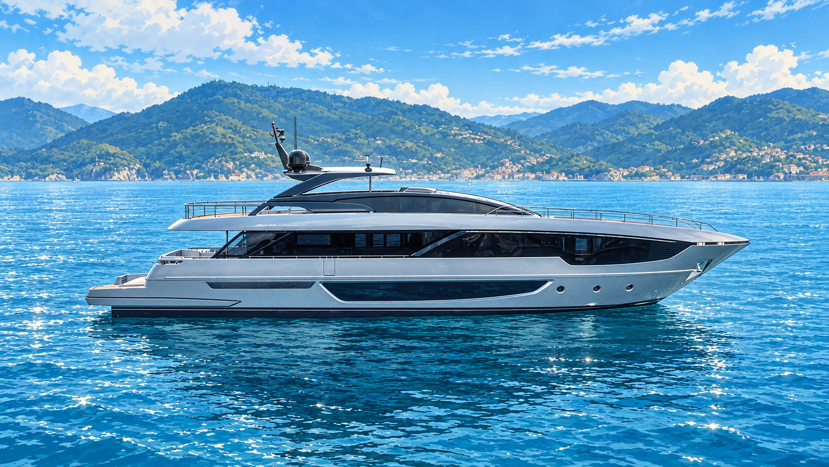
3D passage: an interactive perspective map with a stylised Riva 102 Corsaro–inspired vessel marker. Rotate and tilt with the map controls or two fingers, follow the yacht, or fit the route. The yacht follows the same GPX, heading and selected timeline as the other views. The enlarged model is illustrative, not official shipyard CAD or true map scale. The broad view uses schematic coastline with EOX place labels. Zooming in loads detailed OpenStreetMap raster tiles and OpenSeaMap sea marks beneath the yacht. These add mapped islands, towns, roads and harbour features; coverage depends on the underlying maps. The map remains flat, without terrain or surveyed depths. Requires WebGL; the other map views remain available if unsupported. Built with MapLibre GL JS (BSD) and Three.js (MIT), loaded only when 3D is selected.
Map views: the simple overview uses bundled Natural Earth coastline. Nautical view uses OpenSeaMap sea marks over OpenStreetMap. It is not an official chart and has incomplete coverage; no surveyed depths are provided here. Satellite view adds EOX place-name overlays and OpenSeaMap sea marks above its imagery. Place names and mapped features become more detailed as you zoom; names may use local languages and some small features may be absent. Satellite view uses EOX Sentinel-2 Cloudless 2025 imagery; imagery is not live or tied to the forecast date. Both online views require internet access and send visible map tile areas to their providers. The GPX itself is not uploaded. Attribution remains visible on the map.
Sun: SunCalc astronomical solar position; sunrise/sunset use the sun centre at −0.833° and civil twilight at −6°, solved along the moving vessel’s path. Approximate sea-level horizon, standard refraction; clouds, terrain and observer height are excluded. Clock labels always use Europe/Athens, with the applicable UTC offset shown. They remain on the Greek clock throughout the passage; Egypt may use a different offset on other dates.
Privacy: the site is restricted to its owner and invited viewers. Your GPX and downloaded forecast are saved only in this browser, with Clear to remove them. Port searches send the typed name to Photon. Tapping Search marine places also sends the search name and up to two matching place coordinates to Overpass to retrieve OSM marina and harbour features. Forecast retrieval sends sampled coordinates to Open-Meteo for ECMWF wind and waves. No GPX is uploaded to our server. The overview coastline is bundled Natural Earth data; it has no depths or navigation hazards. PredictWind is not connected to this planner. Libraries: Leaflet and SunCalc, BSD licences.